I’m a geographer, so the concept of projections and coordinate systems is nothing new to me. But working here, walking around with a GPS device and then having to produce map sketches of the places that I have just visited, connecting real-world experiences with points in a shapefile, well, it has made me realize just how ingenious the concepts of longitude and latitude really are.
There is an order in it, and a simplicity, that I feel an incredible fascination for. That every spot on the Earth’s surface has a unique number connected to it. That I can stand in the middle of a uncommonly dense shrubland, log a point in my GPS device, and then copy the coordinates into the search field of Google Maps, and there it is! The much darker gray-green blob among the beige-green surrounding fields on a high-resolution satellite image.
Especially that, being able to almost step by step re-live my transect walks through feeding in the coordinates of my points into Google Maps has been pure adventure for me. Seeing the depressions and fallows and hills from this heavenly persective is something unconditionally enjoyable for the geographer in me.
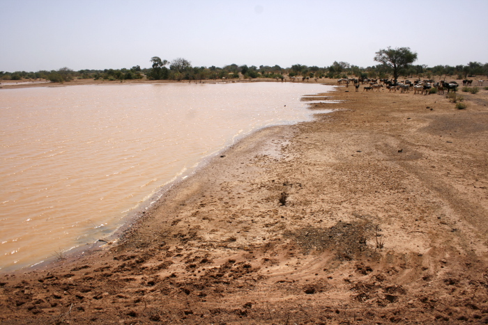
I’ve also been using an app called PDFMaps in my tablet, to look at the preliminary satellite image landcover classifications that I made before coming here. And also there, I can’t help myself in all my excitement: here the map says I’m walking through a depression, but what it really is is a very dense shrubland, or here I’ve classified a patch of bare soil, but in reality it’s a seasonal dam – to be able to follow the blue dot on the tablet screen and see all the flaws of my classification, but also understand why I and the computer made the mistake. A depression isn’t only high in biomass, it also runs like a green river through the landscape. Or a dam might easily be mistaken for barren, bare soil, because much of the year it is exactly that. But it’s usefulness for people, being a storage of water during at least half of the dry season, is so much higher than what an ordinary, dry, flat surface would ever be. I need to add more rules into my classification, make it more nuanced, and I know that thanks to the GPS satellites floating around there in space.
Really, I am amazed. My brain, that loves putting things in neat boxes, can’t get enough. This amazing bridge between the real world and my georeferenced digital files through a system of numbers. And how hands-on my use of it has been down here. There are no words.
I really am a nerd. Getting this excited over a bunch of numbers.
