So, I’m done with the mapping. For four days, I’ve been going through and if necessary correcting the classes in an automatic land cover classification based on satellite data. We have a common study area in the class, that was divided into 16 pieces (one each for every student enrolled in the course). I’m still on overdrive, racing like a maniac, so I was done with my segment after two days, and since a girl was sick, I took on her segment as well and mapped her part too. I went through 2038 polygons in total. Checking the classified polygon against the color infrared stereo image, changing class if necessary, on to the next polygon, in a flow, polygon after polygon after polygon. I can’t seem to stop working.
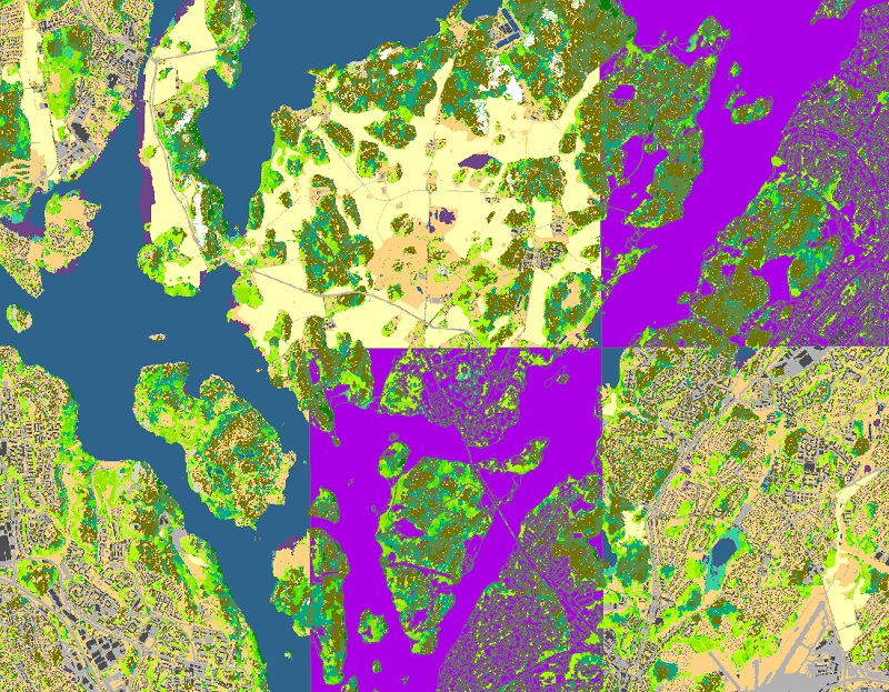
But there is a satisfaction in it too, of course. Every checked polygon turns purple, and eventually the whole segment is just a mosaic of purple and green polygons (the forest classes, the green ones, didn’t need to be checked – they were too detailed). So I guess there is some enjoyment to be gained from that too. Maybe I don’t need to be too worried.
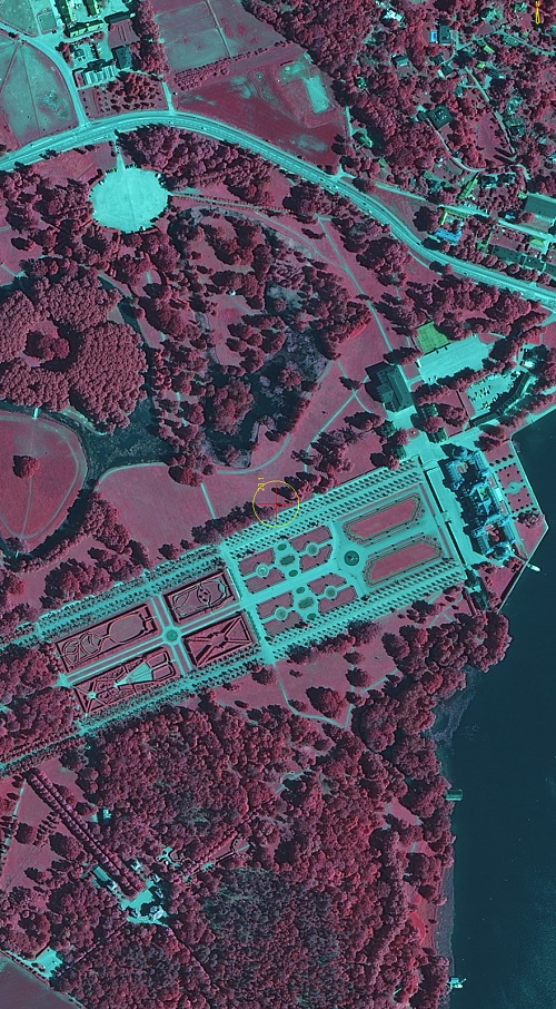
But it’s nice to look at. The color infrared photos. This is Drottningholm, where the king lives. The oak trees like red broccoli. Pretty.
